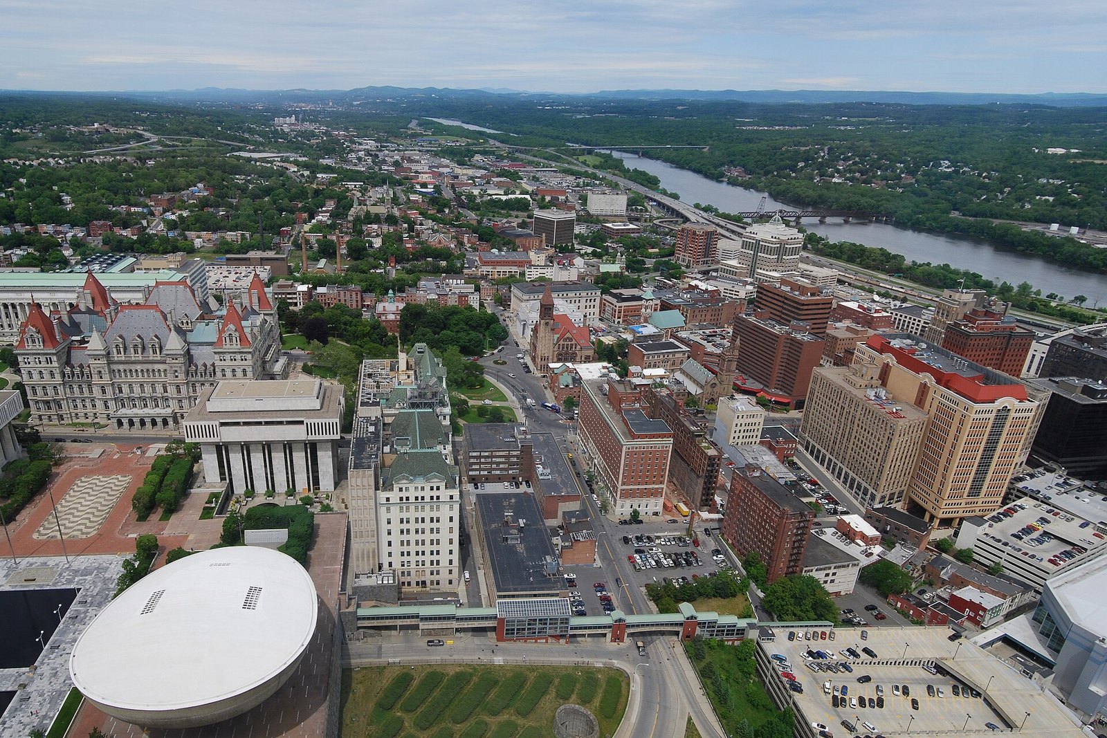
Albany city view

Outdoors

Hiking near Albany

National forests, parks, lakes and recreation areas with hiking trails near Albany, closest first.

26places to hike
24 mito the closest
1within 30 miles
March–June, August–Novemberbest months

Good to know: Carry more water than you think you need, check the managing agency’s page for trail closures and fire restrictions, and start early on hot days.

Closest picks

1

Saratoga National Historical Park

24 mi north · National Park Service

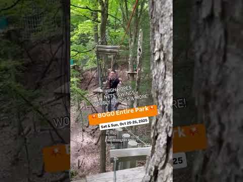
In 1777, a large British invasion force met an equally large American army here at Saratoga. After two intense battles, an eight-mile retreat, and a three-day siege, British General John Burgoyne surrendered his entire force.

2

Grout Pond Campground

49 mi northeast · USDA Forest Service

Grout Pond is a popular destination for camping, hiking, paddling, and fishing. Located in a beautiful mixed conifer and hardwood forest, the campground has 12 reservable sites and offers easy access to over 10 miles of mulituse trails.

3

Indian Hollow

51 mi southeast · US Army Corps of Engineers

With abundant wildlife, lush scenery and waterfront views, Indian Hollow Group Campground, located at the Knightville Dam and Reservoir, offers groups and clubs a recreational oasis.

Map of all 26 places

Map of 26 places loads as you scroll.

Within 30 miles (1)

24 mi north · National Park Service

Saratoga National Historical Park

In 1777, a large British invasion force met an equally large American army here at Saratoga. After two intense battles, an eight-mile retreat, and a three-day siege, British General John Burgoyne surrendered his entire force.

  • Biking
  • Hiking
  • History
  • Horseback riding
  • Picnicking
  • Snowpark
  • Wildlife viewing

30 to 75 miles (14)

49 mi northeast · USDA Forest Service · Campground

Grout Pond Campground

Grout Pond is a popular destination for camping, hiking, paddling, and fishing. Located in a beautiful mixed conifer and hardwood forest, the campground has 12 reservable sites and offers easy access to over 10 miles of mulituse trails.

  • Camping
  • Canoeing
  • Fishing
  • Hiking
  • Kayaking
  • Paddle Boating
  • Picnicking
  • Water Activities

51 mi southeast · US Army Corps of Engineers · Campground

Indian Hollow

With abundant wildlife, lush scenery and waterfront views, Indian Hollow Group Campground, located at the Knightville Dam and Reservoir, offers groups and clubs a recreational oasis.

  • Birding
  • Camping
  • Fishing
  • Hiking
  • Horseback riding
  • Hunting
  • Mountain Biking
  • Star Gazing

52 mi southeast · US Army Corps of Engineers

Knightville Dam

Fly fishing is popular in the Little and Westfield rivers where brown, brook and rainbow trout are stocked by the State. The Claude M. Hill Horse Trail provides horseback riding.

  • Hiking
  • Nature education
  • Picnicking
  • Wildlife viewing

52 mi southeast · US Army Corps of Engineers

Littleville Lake

The launch boat ramp (10-hp limit) provides anglers easy access to the stocked brook, rainbow and brown trout, in addition to the native populations of warmwater fish.

  • Boating
  • Hiking
  • Nature education
  • Water sports
  • Wildlife viewing
  • Winter sports

58 mi southeast · US Army Corps of Engineers

Colebrook River Lake

The 700-acre lake is open seasonally for fishing and boating and has a large boat ramp available. The lake and river are stocked with trout by the State.

  • Boating
  • Hiking
  • Nature education
  • Water sports
  • Wildlife viewing

59 mi northeast · US Army Corps of Engineers · Campground

Winhall Brook Camping Area

Winhall Brook Camping Area is nestled in the Green Mountains of Vermont along Winhall Brook and the West River, seven miles north of Ball Mountain Lake.

  • Biking
  • Birding
  • Camping
  • Cross Country Skiing
  • Evening Programs
  • Fishing
  • Hiking
  • Mountain Biking

60 mi northeast · USDA Forest Service · Campground

Hapgood Pond

Hapgood Pond Recreation Area and Campground is situated next to its scenic namesake pond, 13 miles east of Manchester, Vermont. Visitors enjoy camping, canoeing, kayaking, fishing, swimming, and hiking.

  • Camping
  • Canoeing
  • Fishing
  • Hiking
  • Kayaking
  • Picnicking
  • Swimming

60 mi northeast · US Army Corps of Engineers · Campground

Townshend Lake Recreation Area

Townshend Lake is a flood control project operated by the U.S. Army Corps of Engineers, serving communities within the West River Valley, and those downstream.

  • Biking
  • Birding
  • Camping
  • Canoeing
  • Cross Country Skiing
  • Fishing
  • Hiking
  • Kayaking

60 mi south · National Park Service

Vanderbilt Mansion National Historic Site

Built by of one of the first families of wealth in America. Designed by one of the nation's preeminent architects. The Vanderbilt Mansion is a home built expressly for the aristocratic lifestyle.

  • Hiking
  • History

62 mi south · National Park Service

Eleanor Roosevelt National Historic Site

Visit the home of Eleanor Roosevelt. Here, Franklin and Eleanor entertained friends, the press, activists, and official state visitors in the relaxed atmosphere of Val-Kill.

  • Hiking

64 mi east · Fish and Wildlife Service

Silvio O. Conte National Fish and Wildlife Refuge

Located within parts of four New England states: New Hampshire, Vermont, Massachusetts, and Connecticut, the Silvio O. Conte National Fish and Wildlife Refuge is the only refuge of its kind to encompass an entire watershed.

  • Educational Programs
  • Fishing
  • Hiking
  • Hunting
  • Ranger programs

68 mi east · National Park Service

New England National Scenic Trail

From the Sound to the summits: the New England Trail covers 235 miles from Long Island Sound across long ridges to scenic mountain summits in Connecticut and Massachusetts.

  • Camping
  • Hiking

75 mi southeast · US Army Corps of Engineers

Northfield Brook Lake

Northfield Brook Lake is a scenic day use park with a swim beach, horseshoe pits, picnic shelters, tables and fire grills located throughout the park. The 1.7-mile-long self-guided hiking trail winds throughout the park.

  • Hiking
  • Picnicking
  • Wildlife viewing

75 mi southeast · US Army Corps of Engineers · Campground

Northfield Brook Lake Group Shelters

Northfield Brook Lake Group Shelters are located along a small scenic lake in the Naugatuck Valley of west-central Connecticut.

  • Biking
  • Birding
  • Camping
  • Canoeing
  • Fishing
  • Hiking
  • History
  • Kayaking

75 miles and farther (11)

76 mi southeast · US Army Corps of Engineers

Black Rock Lake

Black Rock Lake is located next to Black Rock State Park. A portion of the 35-mile-long Mattatuck Blue Trail System crosses through the reservoir. The 21-acre lake is open seasonally for fishing and non-motorized boating.

  • Hiking
  • Nature education
  • Wildlife viewing

77 mi east · US Army Corps of Engineers

Surry Mountain Lake

The Ashuelot River offers fishing for bass and stocked trout. The lake is limited to 10-hp engines on vessels.

  • Boating
  • Hiking
  • Nature education
  • Picnicking
  • Water sports
  • Wildlife viewing
  • Winter sports

78 mi east · US Army Corps of Engineers · Campground

Tully Lake Recreation Area (Ma)

The U.S. Army Corps of Engineers invites you to come relax at Tully Lake. There are a variety of outdoor recreation activities for you and you family.

  • Biking
  • Camping
  • Hiking
  • Wildlife viewing

79 mi northeast · US Army Corps of Engineers

North Springfield Lake

The lake offers fishing for largemouth bass and other warmwater species. The boat ramp is open to canoes and small, flat-bottomed boats only. Nearby Stoughton Pond is stocked with rainbow trout and has a 5-mph limit.

  • Boating
  • Hiking
  • Nature education
  • Picnicking
  • Water sports
  • Wildlife viewing
  • Winter sports

80 mi east · US Army Corps of Engineers · Campground

Otter Brook Lake Recreation Area

Otter Brook Lake Recreation Area is a U.S. Army Corps of Engineers day use facility offering many outdoor recreation opportunities everyone can enjoy. The park is located in Keene and Roxbury, New Hampshire.

  • Birding
  • Boating
  • Camping
  • Canoeing
  • Cross Country Skiing
  • Disc Golf
  • Fishing
  • Hiking

81 mi northeast · US Army Corps of Engineers · Campground

Stoughton Pond Rec Area

Stoughton Pond Recreation Area is a day use area located to the north of North Springfield Lake. Stoughton Pond is located off State Route 106 on Stoughton Pond Road in Perkinsville, Vermont.

  • Boating
  • Camping
  • Hiking
  • Hunting
  • Swimming
  • Wildlife viewing
  • Winter sports

86 mi southeast · US Army Corps of Engineers · Campground

Hop Brook Lake Recreation Area

Hop Brook Lake Recreation Area is located within the towns of Middlebury, Naugatuck and Waterbury, Connecticut. Its 536 acres provide excellent recreation opportunities and a chance to escape from the growing suburbia surrounding the park.

  • Biking
  • Boating
  • Camping
  • Canoeing
  • Cross Country Skiing
  • Fishing
  • Hiking
  • Kayaking

91 mi east · US Army Corps of Engineers · Campground

Edward MacDowell Lake Day Use Facilities

Edward MacDowell Lake is situated in a quiet corner of the Monadnock Region of New Hampshire.

  • Birding
  • Boating
  • Camping
  • Canoeing
  • Fishing
  • Hiking
  • Kayaking
  • Picnicking

92 mi northeast · USDA Forest Service · Campground

Chittenden Brook Campground

Chittenden Brook Campground is situated in a beautiful northern hardwoods forest, approximately seven miles from Rochester, VT. It is a small and semi-remote campground, perfect for those who seek a more tranquil camping experience.

  • Biking
  • Camping
  • Hiking
  • Water sports

95 mi northeast · USDA Forest Service · Campground

Moosalamoo Campground

Moosalamoo Campground is a small remote campground located at the base of Mt. Moosalamoo, near Voter Brook. A large mowed grass field in the middle of the campground is good for a variety of activities, especially for groups with children.

  • Biking
  • Boating
  • Camping
  • Fishing
  • Hiking
  • History
  • Hunting
  • Swimming

95 mi southeast · US Army Corps of Engineers · Campground

Westville Recreation Area

Westville Lake is situated on the Quinebaug River in the towns of Southbridge and Sturbridge, Massachusetts.

  • Biking
  • Boating
  • Camping
  • Hiking
  • Winter sports

Distances are straight-line miles from downtown Albany. Listings come from Recreation.gov’s federal recreation database; check each official page for hours, fees, fire restrictions and closures before you go.

Get outside around Albany

Around Albany

Alacrity Art Gallery on Lark Street. Albany NY
Alacrity Art Gallery on Lark Street. Albany NY (34945171545)Henry Bellagnome from Troy, New York, United States · CC BY-SA 2.0
Albany Library Main Branch
Albany Library Main BranchThis image or media was taken or created by Matt H. Wade · CC BY-SA 3.0
Park Mart Mural, Albany
Park Mart MuralSubjectPolicy · CC BY-SA 4.0

More outdoors near Albany

Questions

Where is the closest place for hiking near Albany?

Saratoga National Historical Park (National Park Service), about 24 miles north of Albany as the crow flies. Next are Grout Pond Campground (49 mi) and Indian Hollow (51 mi).

When is the best time for hiking near Albany?

Based on Albany’s average highs, March–June, August–November. Conditions at higher elevations can be much cooler.

Who manages these places?

Federal agencies including US Army Corps of Engineers, National Park Service, USDA Forest Service. Each listing links to its official page for hours, fees, closures and current conditions.

Albany AI

Your Albany local guide
Hey there!

I'm Albany AI. Ask about local food, shopping, history or a day out.

AI recommendations may be inaccurate. Verify hours and prices. Questions are processed by Cloudflare. Privacy